London, general

|
1805 map of Clerkenwell, a central London locale that contains the Pentonville neighborhood.
|
|
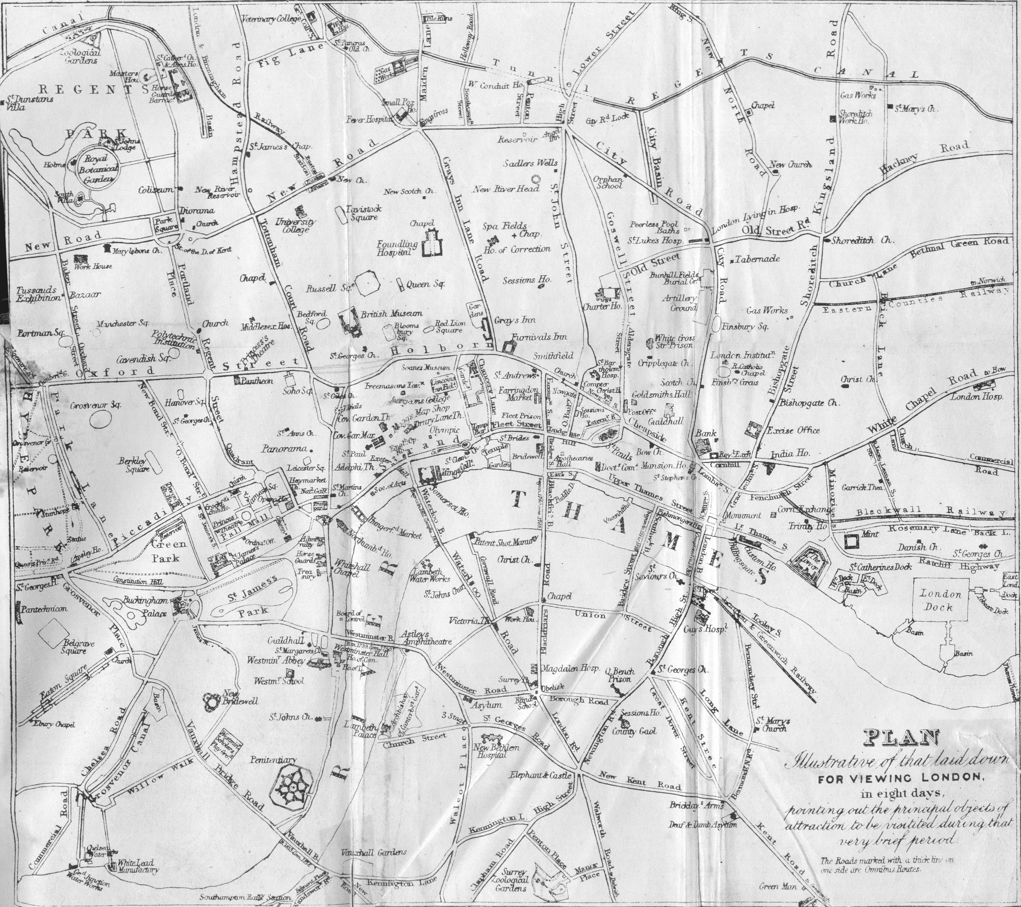
1844 map for visiting London.
|
|
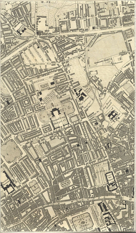
Greenwood's 1827 map of London. Very detailed, you can select particular sections to examine. This section includes the general area of Fagin's gang, and (if you look in the corner, the northwest corner of Pentonville. Check out the full map here.
|
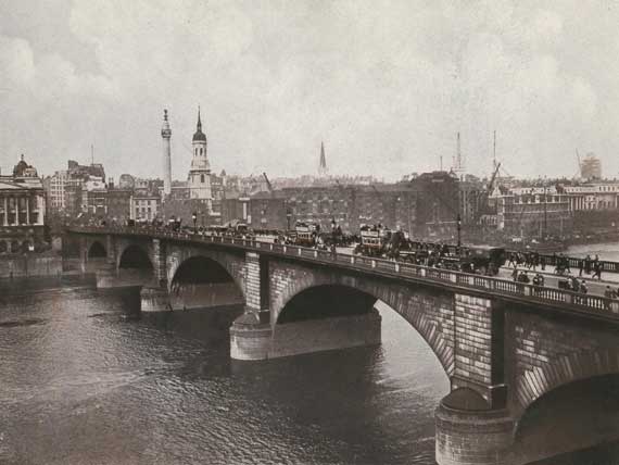
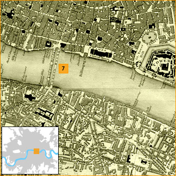
London Bridge
|
The bridge (built and photographed in 1831) crosses the Thames River. You can find it easily on the PBS map listed below.
|
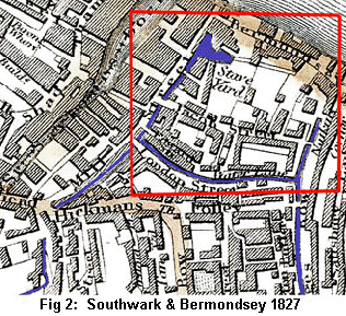
Jacob's Island
|
Jacob's Island was a Victorian slum on the South Bank of the Thames River. It was not a true, natural island in the Thames, but man-made by channels (as you can see in the picture to the right).
|
Specific to Oliver Twist
|
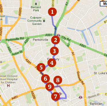
A really brilliant source is The Guardian's interactive Oliver Twist walking tour. An hour-long podcast leads the way down the path Oliver and the Dodger might have taken through London, stopping to talk about important places on the way. In addition to the Google Map, there is a lovely illustrated map of the walking tour that you can find here.
|
|
PBS has an informative, interactive map called Oliver's London, which highlights key locations in the Dickens' story.
|
